🚚 Free Worldwide Shipping on All Orders!Shop Now
1 / 4
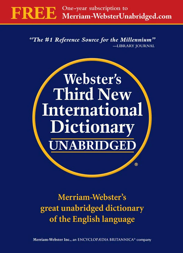
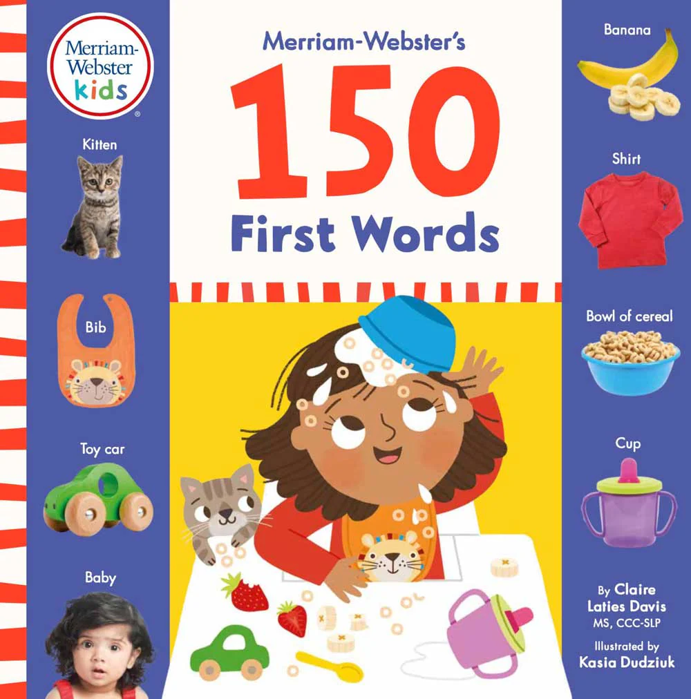
Merriam-Webster's Student Atlas
Explore the globe with this engaging atlas created especially for middle schoolers.
The perfect resource for kids interested in exploring their own country and the world around them, both at home and in the classroom.
- Abundant full-color physical, political, and thematic maps
- Coverage of the world’s landforms, bodies of water, ocean currents, wind patterns, climate, natural resources, population density, and more
- Up-to-date statistics and global information
- Packed with photographs, easy-to-use charts, and graphs, and featuring a glossary with brief definitions
- New to this edition: coverage of the layers of the atmosphere and layers of the Earth
- Includes flags and facts for countries and territories around the world
Format: Trade paperback
Pages: 132
Size: 8 1/2" x 10 7/8"
ISBN: 978-0-87779-739-5
Copyright: © 2026
$4.88
Original: $13.95
-65%Merriam-Webster's Student Atlas—
$13.95
$4.88Description
Explore the globe with this engaging atlas created especially for middle schoolers.
The perfect resource for kids interested in exploring their own country and the world around them, both at home and in the classroom.
- Abundant full-color physical, political, and thematic maps
- Coverage of the world’s landforms, bodies of water, ocean currents, wind patterns, climate, natural resources, population density, and more
- Up-to-date statistics and global information
- Packed with photographs, easy-to-use charts, and graphs, and featuring a glossary with brief definitions
- New to this edition: coverage of the layers of the atmosphere and layers of the Earth
- Includes flags and facts for countries and territories around the world
Format: Trade paperback
Pages: 132
Size: 8 1/2" x 10 7/8"
ISBN: 978-0-87779-739-5
Copyright: © 2026